
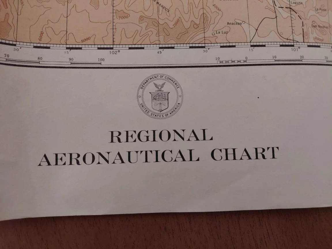
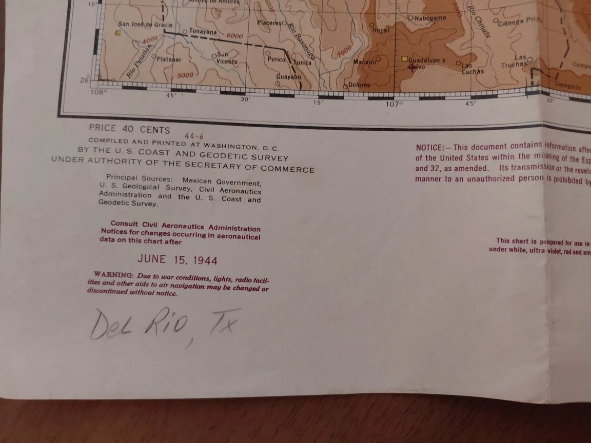
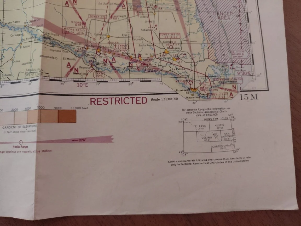
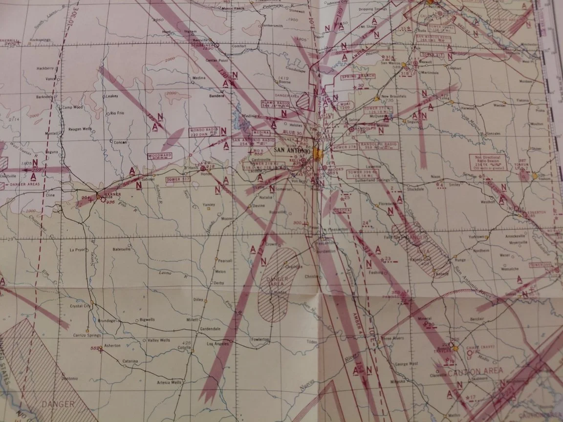
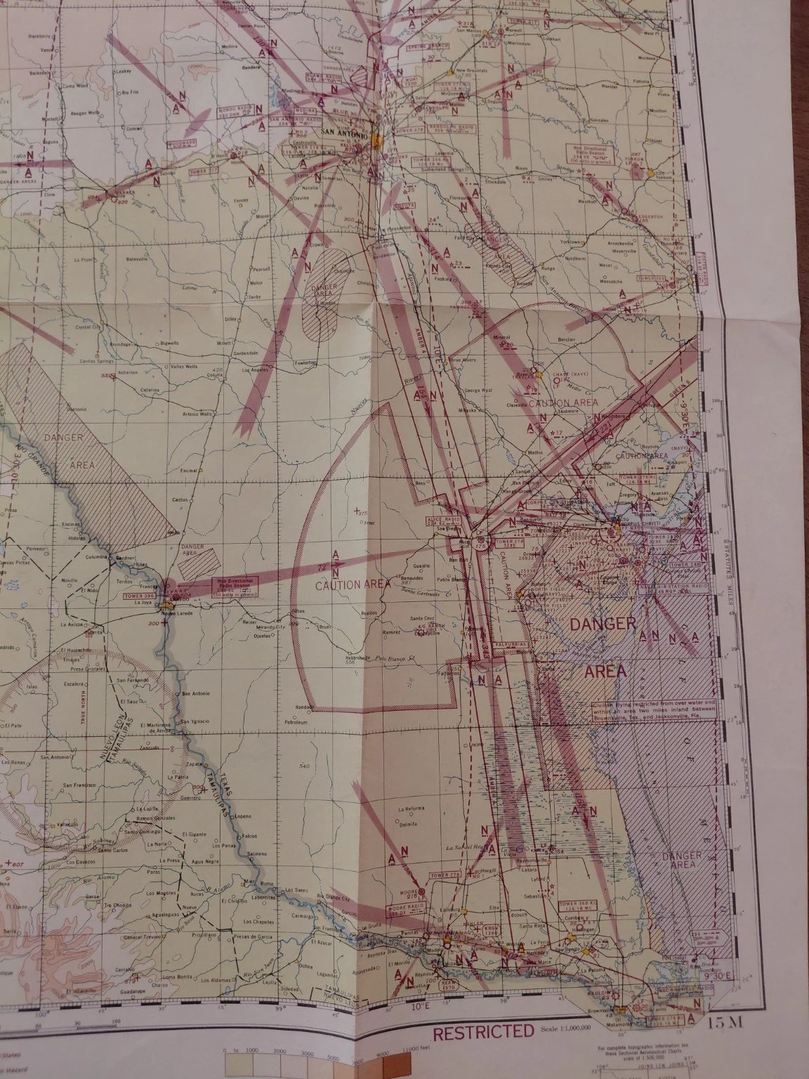
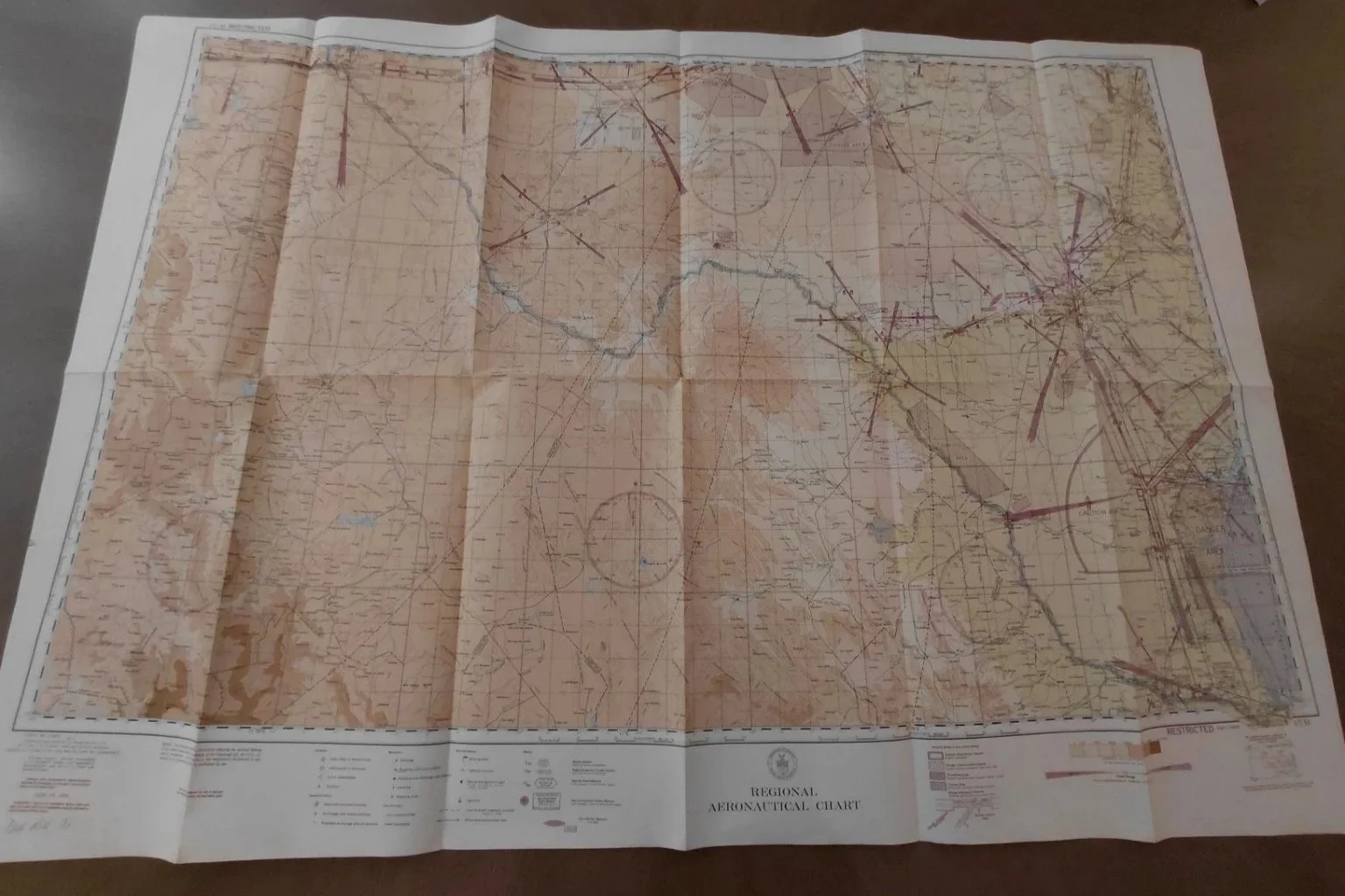
Original Regional Aeronautical Chart covering the Del Rio, Texas region, dated June 15, 1944. Printed at a 1:1,000,000 scale under the authority of the U.S. Coast & Geodetic Survey, this WWII-era chart is marked “Restricted” and was used for official U.S. aviation navigation. It details radio ranges, restricted and caution areas, danger zones, and airfields across Texas and northern Mexico.
Condition: Excellent for its age, with crisp color and strong detail. Retains original fold lines with only light handling wear. Minor ink staining on the reverse side (does not affect map content). Small pencil notation in the margin (“Del Rio, TX”). No tears or writing on the chart itself.