
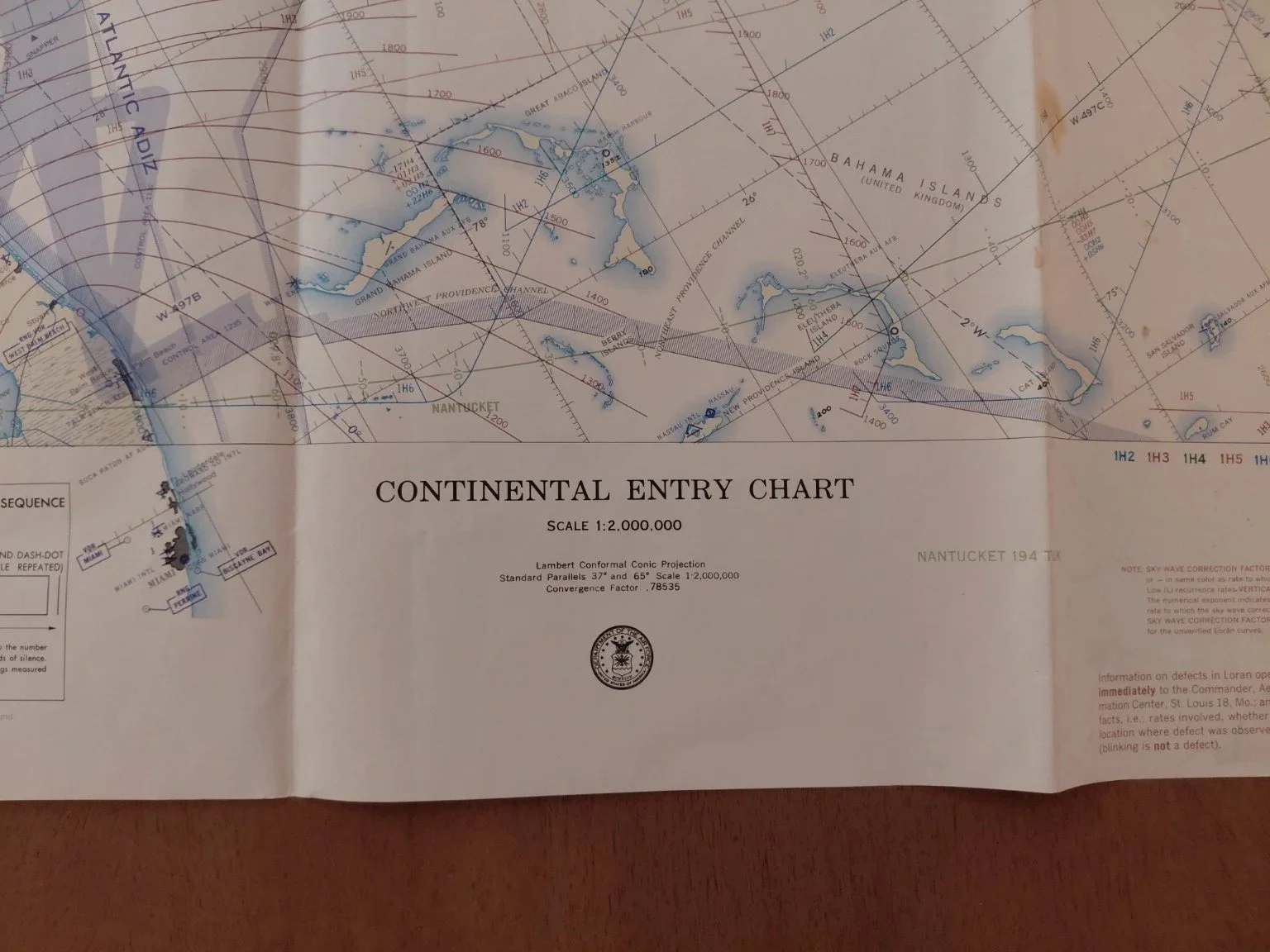
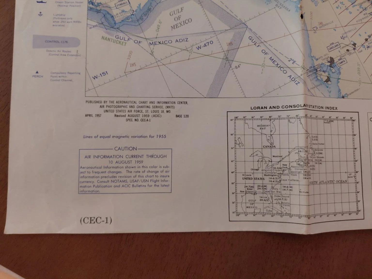
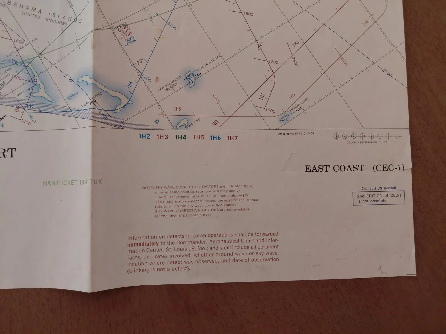
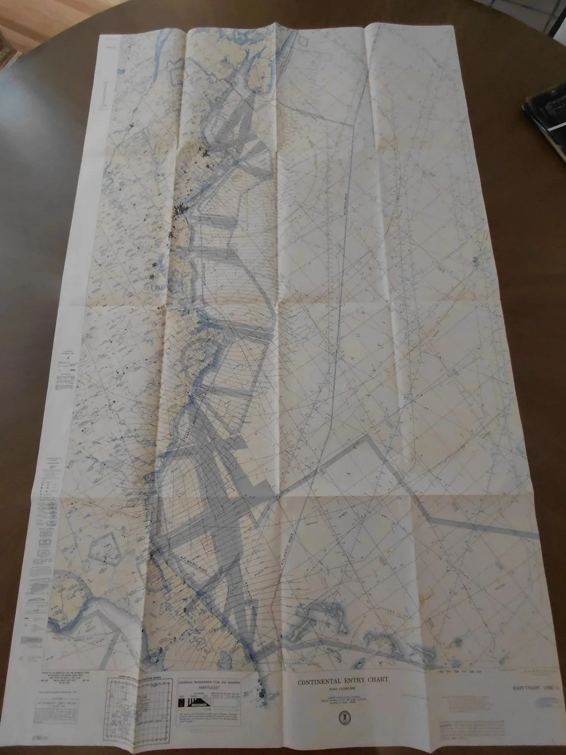
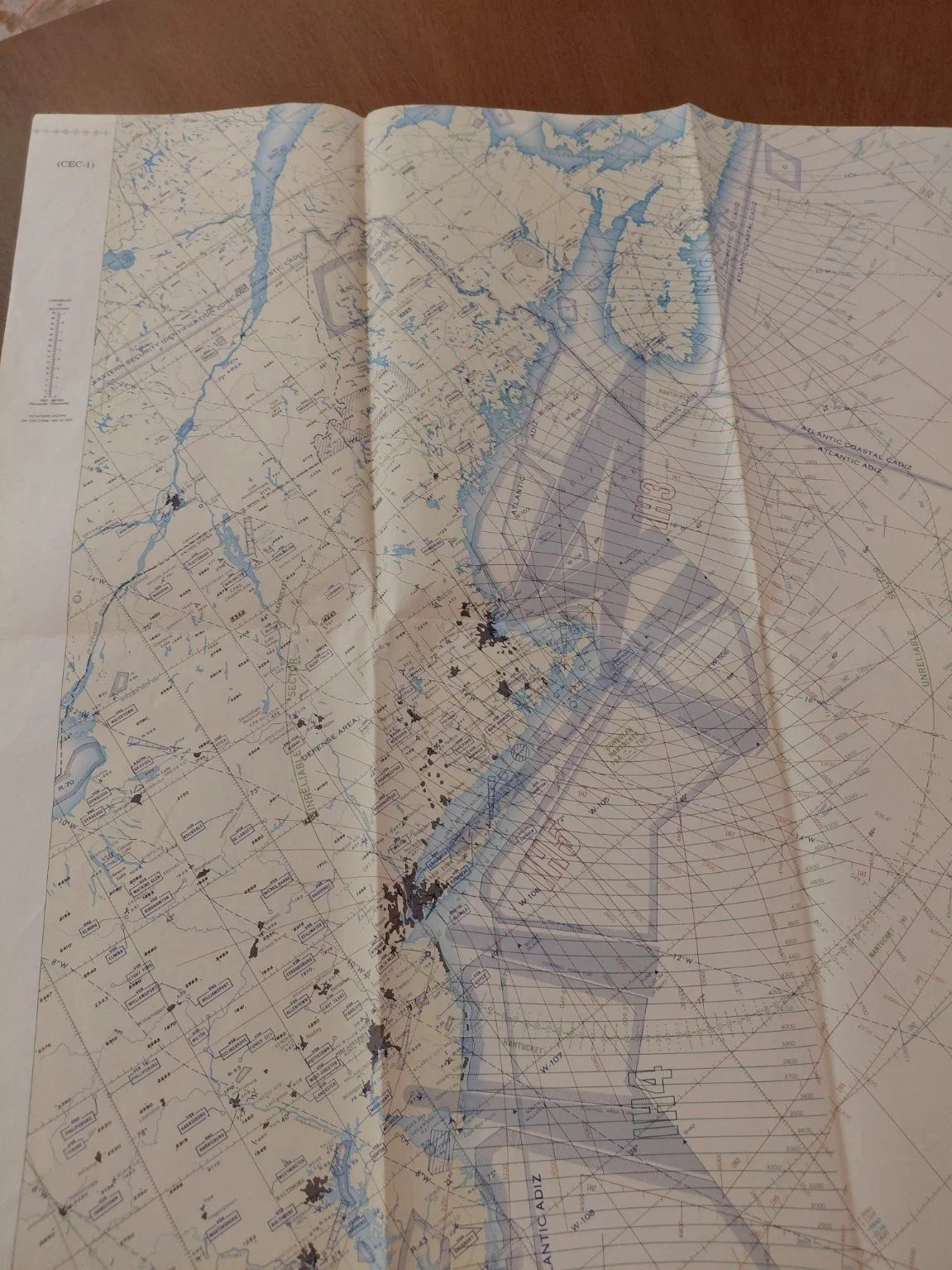
Original Continental Entry Aeronautical Chart (CEC-1, East Coast), issued by the U.S. Air Force Aeronautical Chart and Information Center (ACIC), St. Louis, Missouri. These oversized charts were produced for long-range navigation, oceanic entry, and coastal approach flights during the Cold War era.
Base Edition: May 1955
2nd Edition: September 1959
Air Information Current Through: August 1959
Scale: 1:2,000,000
Dimensions: Approx. 52” x 41” unfolded (much larger than standard sectionals)
Coverage: U.S. East Coast, Gulf of Mexico, and Atlantic ADIZ corridors
Features: Loran & Consolan transmission sequences, ADIZ boundaries, oceanic approach fixes, coastal airports, and navigational hazards
Condition: Excellent overall — vibrant printing, original fold lines, very light edge wear, no major tears or annotations.